
Thank you for supporting this site ❤️
Make a donation
Make a donation
Gear up for your next adventure:
As an Amazon Associate, this site earns from qualifying purchases at no extra cost to you.
Vinn topographic map
Click on the map to display elevation.
Thank you for supporting this site ❤️
Make a donation
Make a donation
Gear up for your next adventure:
As an Amazon Associate, this site earns from qualifying purchases at no extra cost to you.
About this map
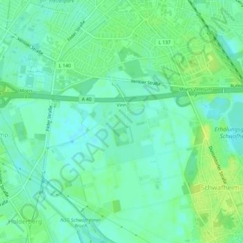
Name: Vinn topographic map, elevation, terrain.
Location: Vinn, Moers, Kreis Wesel, North Rhine-Westphalia, 47447, Germany (51.42215 6.60942 51.44439 6.64801)
Average elevation: 29 m
Minimum elevation: 22 m
Maximum elevation: 37 m
Thank you for supporting this site ❤️
Make a donation
Make a donation
Gear up for your next adventure:
As an Amazon Associate, this site earns from qualifying purchases at no extra cost to you.