
Barney topographic map
Interactive map
Click on the map to display elevation.
About this map
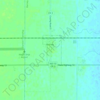
Name: Barney topographic map, elevation, terrain.
Location: Barney, Richland County, North Dakota, United States (46.26164 -97.00348 46.26966 -96.99625)
Average elevation: 316 m
Minimum elevation: 311 m
Maximum elevation: 320 m