
Artesa de Segre topographic map
Interactive map
Click on the map to display elevation.
About this map
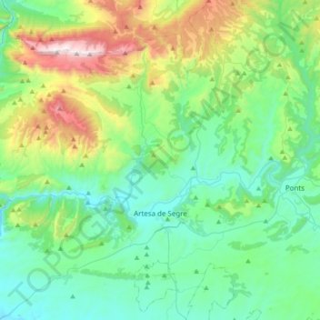
Name: Artesa de Segre topographic map, elevation, terrain.
Location: Artesa de Segre, Noguera, Lérida, Cataluña, 25730, España (41.81280 0.95499 42.06210 1.17130)
Average elevation: 595 m
Minimum elevation: 259 m
Maximum elevation: 1,663 m