
Normandie topographic map
Interactive map
Click on the map to display elevation.
About this map
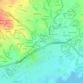
Name: Normandie topographic map, elevation, terrain.
Location: Normandie, Buena Vista, Curaçao, Niederlande (12.14330 -68.92907 12.14666 -68.92564)
Average elevation: 21 m
Minimum elevation: -1 m
Maximum elevation: 56 m