
Ballinard topographic map
Interactive map
Click on the map to display elevation.
About this map
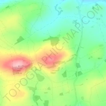
Name: Ballinard topographic map, elevation, terrain.
Location: Ballinard, Knocks, West Cork, County Cork, Munster, Ireland (51.69491 -8.95402 51.71360 -8.93131)
Average elevation: 139 m
Minimum elevation: 79 m
Maximum elevation: 228 m
County Cork trails, hiking, mountain biking, running and outdoor activities
Other topographic maps
Click on a map to view its topography, its elevation and its terrain.