
Jasola topographic map
Interactive map
Click on the map to display elevation.
About this map
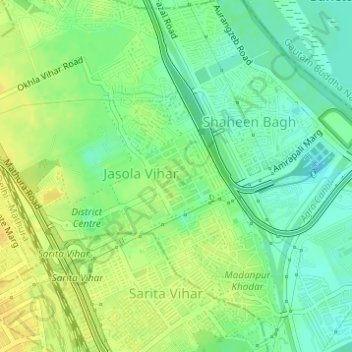
Name: Jasola topographic map, elevation, terrain.
Location: Jasola, South East Delhi, Delhi, India (28.53634 77.28194 28.54854 77.29928)
Average elevation: 207 m
Minimum elevation: 194 m
Maximum elevation: 219 m
Other topographic maps
Click on a map to view its topography, its elevation and its terrain.