
孙村镇 topographic map
Interactive map
Click on the map to display elevation.
About this map
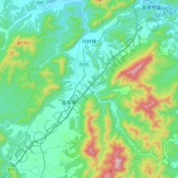
Name: 孙村镇 topographic map, elevation, terrain.
Location: 孙村镇, 旌德县, 宣城市, 安徽省, 中国 (30.20507 118.33546 30.34812 118.47631)
Average elevation: 368 m
Minimum elevation: 143 m
Maximum elevation: 1,090 m