
Khojaly District topographic map
Interactive map
Click on the map to display elevation.
About this map
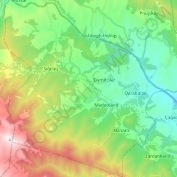
Name: Khojaly District topographic map, elevation, terrain.
Location: Khojaly District, Upper Karabakh, Azerbaijan (39.65690 46.76295 39.76122 46.88775)
Average elevation: 1,262 m
Minimum elevation: 805 m
Maximum elevation: 2,223 m