
Make a donation
Gear up for your next adventure:
As an Amazon Associate, this site earns from qualifying purchases at no extra cost to you.
Ziegelstatt topographic map
Click on the map to display elevation.
Make a donation
Gear up for your next adventure:
As an Amazon Associate, this site earns from qualifying purchases at no extra cost to you.
About this map
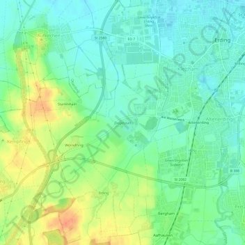
Name: Ziegelstatt topographic map, elevation, terrain.
Average elevation: 475 m
Minimum elevation: 459 m
Maximum elevation: 501 m
Make a donation
Gear up for your next adventure:
As an Amazon Associate, this site earns from qualifying purchases at no extra cost to you.
Other topographic maps
Click on a map to view its topography, its elevation and its terrain.
Erding
Deutschland > Bayern > Landkreis Erding > Erding
Zunächst wird das Trinkwasser zum Hochbehälter bei Lupperg auf 530 Metern Höhenlage gepumpt 48.239511.8689. Dieser wurde 1982 gebaut und hat ein Fassungsvermögen von 10.000 m³. Er dient der Druckerhaltung im Netz und puffert Bedarfsspitzen ab. Über eine 7,3 Kilometer lange Leitung mit 60 cm Durchmesser…
Average elevation: 460 m