
Wicklow Road Park topographic map
Interactive map
Click on the map to display elevation.
About this map
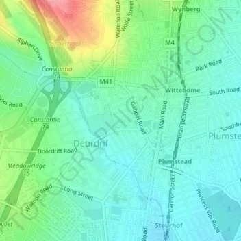
Name: Wicklow Road Park topographic map, elevation, terrain.
Average elevation: 42 m
Minimum elevation: 16 m
Maximum elevation: 110 m
Other topographic maps
Click on a map to view its topography, its elevation and its terrain.
Table Mountain
South Africa > Western Cape > City of Cape Town > Cape Town
Table Mountain, Cape Town Ward 54, Cape Town, City of Cape Town, Western Cape, 8040, South Africa
Average elevation: 583 m