Lac d'Aydat topographic map
Interactive map
Click on the map to display elevation.
About this map
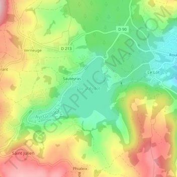
Name: Lac d'Aydat topographic map, elevation, terrain.
Average elevation: 889 m
Minimum elevation: 805 m
Maximum elevation: 986 m

Click on the map to display elevation.
Name: Lac d'Aydat topographic map, elevation, terrain.
Average elevation: 889 m
Minimum elevation: 805 m
Maximum elevation: 986 m