
罗雄街道 topographic map
Interactive map
Click on the map to display elevation.
About this map
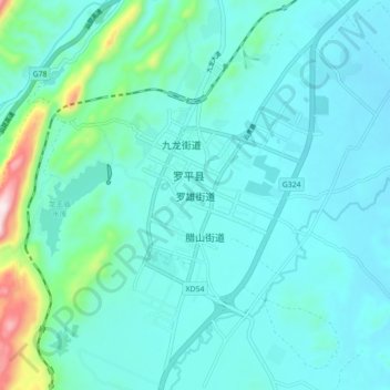
Name: 罗雄街道 topographic map, elevation, terrain.
Location: 罗雄街道, 罗平县, 曲靖市, 云南省, 中国 (24.84459 104.26685 24.92459 104.34685)
Average elevation: 1,526 m
Minimum elevation: 1,455 m
Maximum elevation: 1,955 m
Other topographic maps
Click on a map to view its topography, its elevation and its terrain.