
Auburn Lakes topographic map
Interactive map
Click on the map to display elevation.
About this map
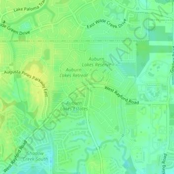
Name: Auburn Lakes topographic map, elevation, terrain.
Location: Auburn Lakes, Harris County, Texas, United States (30.12250 -95.52706 30.13695 -95.51158)
Average elevation: 41 m
Minimum elevation: 32 m
Maximum elevation: 50 m