
Rweru topographic map
Interactive map
Click on the map to display elevation.
About this map
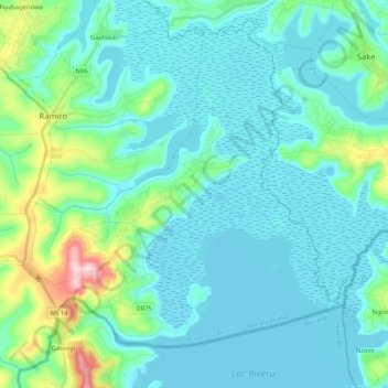
Name: Rweru topographic map, elevation, terrain.
Location: Rweru, Bugesera, East Province, Rwanda (-2.38776 30.16489 -2.19806 30.37329)
Average elevation: 1,364 m
Minimum elevation: 1,321 m
Maximum elevation: 1,597 m