
斯挖托 topographic map
Interactive map
Click on the map to display elevation.
About this map
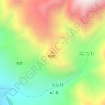
Name: 斯挖托 topographic map, elevation, terrain.
Location: 斯挖托, 以达村, 甘洛县, 凉山彝族自治州, 四川省, 中国 (28.93866 102.81258 28.93876 102.81268)
Average elevation: 1,701 m
Minimum elevation: 1,196 m
Maximum elevation: 2,321 m