
Town of Plover topographic map
Interactive map
Click on the map to display elevation.
About this map
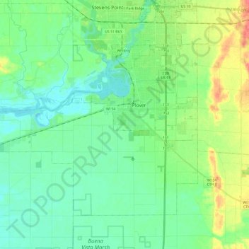
Name: Town of Plover topographic map, elevation, terrain.
Location: Town of Plover, Portage County, Wisconsin, United States (44.38100 -89.72539 44.50486 -89.48792)
Average elevation: 331 m
Minimum elevation: 315 m
Maximum elevation: 371 m