

Pully topographic map
Click on the map to display elevation.
Pully
The municipality stretches from Lake Geneva to the Jorat and includes the peak of Monts-de-Pully at an elevation of 806 m (2,644 ft). It consists of the village section of Chamblandes, La Perraudettaz, Port, Rochettaz and La Rosiaz.
About this map
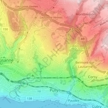
Name: Pully topographic map, elevation, terrain.
Location: Pully, District de Lavaux-Oron, Vaud, Switzerland (46.45454 6.63934 46.54462 6.70218)
Average elevation: 474 m
Minimum elevation: 369 m
Maximum elevation: 850 m
Other topographic maps
Click on a map to view its topography, its elevation and its terrain.
