
Kostanjevac topographic map
Interactive map
Click on the map to display elevation.
About this map
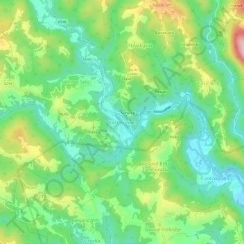
Name: Kostanjevac topographic map, elevation, terrain.
Location: Kostanjevac, Općina Žumberak, Zagreb County, 10455, Croatia (45.68020 15.45132 45.72020 15.49132)
Average elevation: 271 m
Minimum elevation: 166 m
Maximum elevation: 475 m