
Stainforth topographic map
Click on the map to display elevation.
About this map
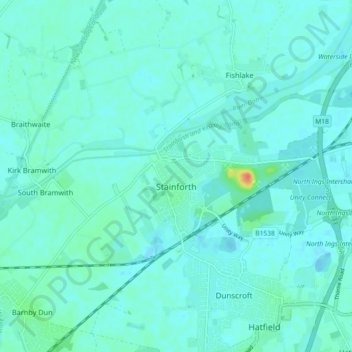
Name: Stainforth topographic map, elevation, terrain.
Average elevation: 6 m
Minimum elevation: -1 m
Maximum elevation: 43 m
Other topographic maps
Click on a map to view its topography, its elevation and its terrain.
Doncaster
United Kingdom > England > Doncaster > Doncaster
Doncaster has a maritime climate lacking extreme temperatures, like much of the British Isles. Its low elevation in the Don Valley, in the lee of the Pennines, and inland from the North Sea, mean daytime summer temperatures are no lower than parts of South East England, despite the more northerly location. The…
Average elevation: 18 m