
峪阳 topographic map
Interactive map
Click on the map to display elevation.
About this map
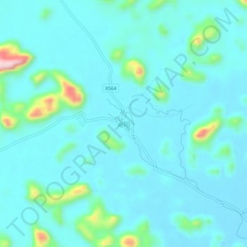
Name: 峪阳 topographic map, elevation, terrain.
Location: 峪阳, 龙州县, 崇左市, 广西壮族自治区, 中国 (22.50198 106.99180 22.54198 107.03180)
Average elevation: 199 m
Minimum elevation: 163 m
Maximum elevation: 420 m
Other topographic maps
Click on a map to view its topography, its elevation and its terrain.