
Carmarthen topographic map
Interactive map
Click on the map to display elevation.
About this map
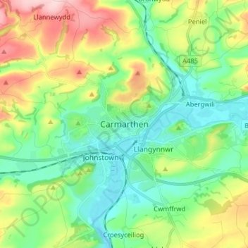
Name: Carmarthen topographic map, elevation, terrain.
Location: Carmarthen, Carmarthenshire, Wales, SA31 1RT, United Kingdom (51.81913 -4.35159 51.89913 -4.27159)
Average elevation: 74 m
Minimum elevation: -2 m
Maximum elevation: 230 m