
Make a donation
Gear up for your next adventure:
As an Amazon Associate, this site earns from qualifying purchases at no extra cost to you.
Kanpi topographic map
Click on the map to display elevation.
Make a donation
Gear up for your next adventure:
As an Amazon Associate, this site earns from qualifying purchases at no extra cost to you.
About this map
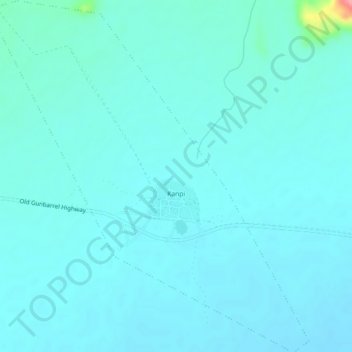
Name: Kanpi topographic map, elevation, terrain.
Average elevation: 681 m
Minimum elevation: 670 m
Maximum elevation: 772 m
Make a donation
Gear up for your next adventure:
As an Amazon Associate, this site earns from qualifying purchases at no extra cost to you.
Other topographic maps
Click on a map to view its topography, its elevation and its terrain.
Marble Hill
Australia > South Australia > Anangu Pitjantjatjara Yankunytjatjara
Average elevation: 480 m
Mount Woodroffe
Australia > South Australia > Anangu Pitjantjatjara Yankunytjatjara
Average elevation: 1,154 m
Musgrave Ranges
Australia > South Australia > Anangu Pitjantjatjara Yankunytjatjara
Average elevation: 1,054 m