
Meatpacking District topographic map
Interactive map
Click on the map to display elevation.
About this map
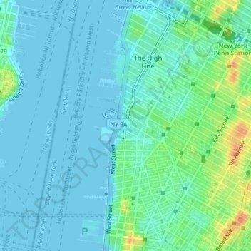
Name: Meatpacking District topographic map, elevation, terrain.
Average elevation: 9 m
Minimum elevation: -7 m
Maximum elevation: 44 m
Other topographic maps
Click on a map to view its topography, its elevation and its terrain.
Manhattan
Stati Uniti d'America > New York > New York
Manhattan, New York County, New York, Stati Uniti d'America
Average elevation: 17 m