
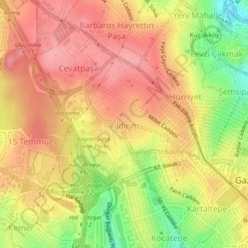
Yıldırım Mahallesi topographic map
Interactive map
Click on the map to display elevation.
About this map
Name: Yıldırım Mahallesi topographic map, elevation, terrain.
Average elevation: 110 m
Minimum elevation: 42 m
Maximum elevation: 151 m
Other topographic maps
Click on a map to view its topography, its elevation and its terrain.
Vatan Mahallesi
Vatan Mahallesi, Bayrampaşa, Istanbul, Marmara Region, Turkey
Average elevation: 72 m