Geolocate

Gatehampton topographic map

Click on the map to display elevation.

About this map

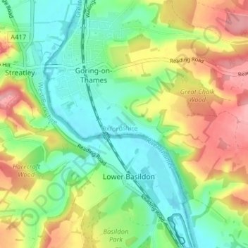
Name: Gatehampton topographic map, elevation, terrain.

Location: Gatehampton, Goring-on-Thames, South Oxfordshire, Oxfordshire, England, RG8 9LU, United Kingdom (51.49359 -1.14331 51.53359 -1.10331)

Average elevation: 88 m

Minimum elevation: 37 m

Maximum elevation: 167 m

Other topographic maps

Click on a map to view its topography, its elevation and its terrain.

Gear up for your next adventure:

🧴Long-Lasting Sunscreen - Protect against UV rays during long days on the ridges
🗺️Irish Road Atlases - Comprehensive physical maps for road trips and navigation
🥽UV Protection Sunglasses - Protect eyes on bright days
🥾Hiking Boots - Top hiking boots for Irish trails and rugged terrain
🧯Camp Safety Kits - All‑in‑one safety gear

As an Amazon Associate, this site earns from qualifying purchases at no extra cost to you.