
Kilkee topographic map
Click on the map to display elevation.
About this map
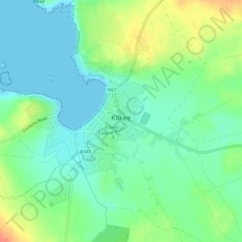
Name: Kilkee topographic map, elevation, terrain.
Location: Kilkee, County Clare, Munster, Ireland (52.66912 -9.66438 52.68844 -9.63096)
Average elevation: 17 m
Minimum elevation: 0 m
Maximum elevation: 50 m
County Clare trails, hiking, mountain biking, running and outdoor activities
Other topographic maps
Click on a map to view its topography, its elevation and its terrain.