
Thank you for supporting this site ❤️
Make a donation
Make a donation
Gear up for your next adventure:
As an Amazon Associate, this site earns from qualifying purchases at no extra cost to you.
Manihi topographic map
Click on the map to display elevation.
Thank you for supporting this site ❤️
Make a donation
Make a donation
Gear up for your next adventure:
As an Amazon Associate, this site earns from qualifying purchases at no extra cost to you.
About this map
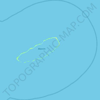
Name: Manihi topographic map, elevation, terrain.
Location: Manihi, Tuamotu-Gambier, French Polynesia, France (-14.66830 -146.15844 -14.12788 -145.62869)
Average elevation: 0 m
Minimum elevation: -1 m
Maximum elevation: 11 m
Thank you for supporting this site ❤️
Make a donation
Make a donation
Gear up for your next adventure:
As an Amazon Associate, this site earns from qualifying purchases at no extra cost to you.