
Clondalkin, Lucan and Palmerston Parish topographic map
Interactive map
Click on the map to display elevation.
About this map
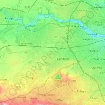
Name: Clondalkin, Lucan and Palmerston Parish topographic map, elevation, terrain.
Average elevation: 70 m
Minimum elevation: 5 m
Maximum elevation: 183 m
County Dublin trails, hiking, mountain biking, running and outdoor activities