
Tischberg topographic map
Interactive map
Click on the map to display elevation.
About this map
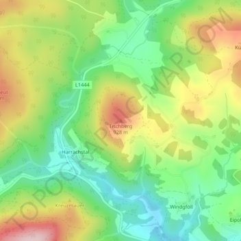
Name: Tischberg topographic map, elevation, terrain.
Location: Tischberg, Weitersfelden, Bezirk Freistadt, 4272, Österreich (48.50709 14.69611 48.50719 14.69621)
Average elevation: 817 m
Minimum elevation: 711 m
Maximum elevation: 966 m