
差那乡 topographic map
Interactive map
Click on the map to display elevation.
About this map
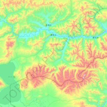
Name: 差那乡 topographic map, elevation, terrain.
Location: 差那乡, Gyirong, 日喀则市 གཞིས་ཀ་རྩེ་གྲོང་ཁྱེར།, Tibet, China (28.88520 85.45012 29.26042 86.15770)
Average elevation: 4,969 m
Minimum elevation: 4,393 m
Maximum elevation: 6,398 m