
宝堰镇 topographic map
Interactive map
Click on the map to display elevation.
About this map
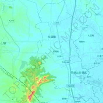
Name: 宝堰镇 topographic map, elevation, terrain.
Location: 宝堰镇, 丹徒区, 镇江市, 江苏省, 212100, 中国 (31.82764 119.32951 31.97072 119.43805)
Average elevation: 21 m
Minimum elevation: 2 m
Maximum elevation: 219 m