
Zakopane topographic map
Interactive map
Click on the map to display elevation.
About this map
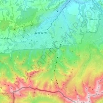
Name: Zakopane topographic map, elevation, terrain.
Location: Zakopane, Tatra County, Lesser Poland Voivodeship, Poland (49.21835 19.90039 49.33317 20.04316)
Average elevation: 1,180 m
Minimum elevation: 742 m
Maximum elevation: 2,250 m