
Make a donation
Gear up for your next adventure:
As an Amazon Associate, this site earns from qualifying purchases at no extra cost to you.
Trayu topographic map
Click on the map to display elevation.
Make a donation
Gear up for your next adventure:
As an Amazon Associate, this site earns from qualifying purchases at no extra cost to you.
About this map
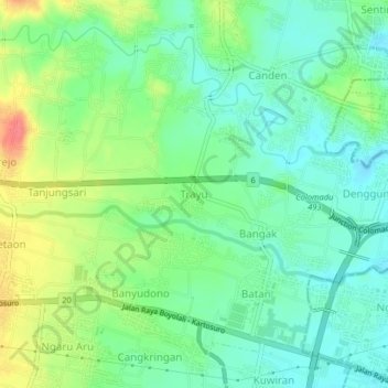
Name: Trayu topographic map, elevation, terrain.
Location: Trayu, Boyolali, Central Java, Java, 57373, Indonesia (-7.54386 110.67707 -7.50386 110.71707)
Average elevation: 160 m
Minimum elevation: 137 m
Maximum elevation: 204 m
Make a donation
Gear up for your next adventure:
As an Amazon Associate, this site earns from qualifying purchases at no extra cost to you.
Other topographic maps
Click on a map to view its topography, its elevation and its terrain.
Dusun Gunung Sari
Indonesia > Central Java > Boyolali > Desa Sobokerto > Tempel
Average elevation: 132 m
Make a donation
Gear up for your next adventure:
As an Amazon Associate, this site earns from qualifying purchases at no extra cost to you.