
Charrié topographic map
Interactive map
Click on the map to display elevation.
About this map
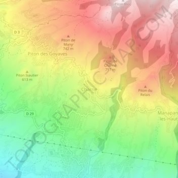
Name: Charrié topographic map, elevation, terrain.
Location: Charrié, Petite-Île, Saint-Pierre, La Réunion, 97429, France (-21.35254 55.54747 -21.31254 55.58747)
Average elevation: 614 m
Minimum elevation: 239 m
Maximum elevation: 997 m