
河口湖 topographic map
Interactive map
Click on the map to display elevation.
About this map
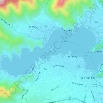
Name: 河口湖 topographic map, elevation, terrain.
Location: 河口湖, 富士河口湖町, 南都留郡, 山梨县, 401-0305, 日本 (35.50151 138.71610 35.52462 138.77379)
Average elevation: 904 m
Minimum elevation: 826 m
Maximum elevation: 1,448 m