
Krui topographic map
Interactive map
Click on the map to display elevation.
About this map
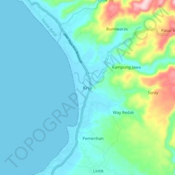
Name: Krui topographic map, elevation, terrain.
Location: Krui, Pesisir Barat, Lampung, Sumatra, Indonesien (-5.20580 103.90011 -5.12580 103.98011)
Average elevation: 54 m
Minimum elevation: -1 m
Maximum elevation: 295 m