
草铺街道 topographic map
Interactive map
Click on the map to display elevation.
About this map
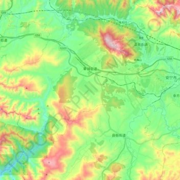
Name: 草铺街道 topographic map, elevation, terrain.
Location: 草铺街道, 安宁市, 昆明市, 云南省, 中国 (24.83220 102.25772 24.98734 102.48873)
Average elevation: 1,971 m
Minimum elevation: 1,693 m
Maximum elevation: 2,516 m
Other topographic maps
Click on a map to view its topography, its elevation and its terrain.