
Asten topographic map
Interactive map
Click on the map to display elevation.
About this map
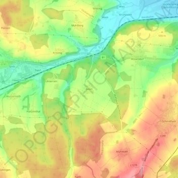
Name: Asten topographic map, elevation, terrain.
Location: Asten, Frankenmarkt, Bezirk Vöcklabruck, 4890, Österreich (47.95990 13.43054 47.99990 13.47054)
Average elevation: 547 m
Minimum elevation: 488 m
Maximum elevation: 602 m