
Westvoorne topographic map
Interactive map
Click on the map to display elevation.
About this map
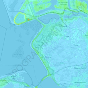
Name: Westvoorne topographic map, elevation, terrain.
Location: Westvoorne, Südholland, Niederlande (51.84211 3.95558 51.93614 4.16035)
Average elevation: 1 m
Minimum elevation: -6 m
Maximum elevation: 28 m
Other topographic maps
Click on a map to view its topography, its elevation and its terrain.
Rockanje
Niederlande > Südholland > Westvoorne
Rockanje, Westvoorne, Südholland, Niederlande
Average elevation: 1 m