
Bischheim topographic map
Interactive map
Click on the map to display elevation.
About this map
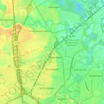
Name: Bischheim topographic map, elevation, terrain.
Average elevation: 142 m
Minimum elevation: 127 m
Maximum elevation: 156 m
L'altitude varie entre 132 m et 150 m avec une moyenne de 140 m. Le ban communal s'étend sur 4,4 km2 dont près des deux tiers sont urbanisés. La densité s'élève à 3 801 habitants au km2. Environ 35 % de son habitat est constitué de logements sociaux.