Geolocate

Subarnapur topographic map

Click on the map to display elevation.

About this map
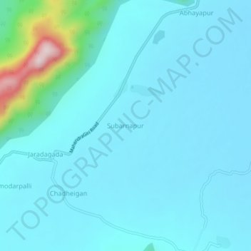
Name: Subarnapur topographic map, elevation, terrain.

Location: Subarnapur, Jarada, Ganjam District, Odisha, 761005, India (19.06143 84.49445 19.10143 84.53445)

Average elevation: 82 m

Minimum elevation: 35 m

Maximum elevation: 461 m

Gear up for your next adventure:

🗺️Topographic Maps - Detailed maps for hiking, cycling and planning routes
🚰Hydration Packs - Hands‑free water storage for hikers
🗺️Irish Road Atlases - Comprehensive physical maps for road trips and navigation
🧯Compact Fire Extinguishers - Safety for campervans and expedition vehicles
🔦UV Flashlights - Search for minerals or inspect maps at night

As an Amazon Associate, this site earns from qualifying purchases at no extra cost to you.