
Scania topographic map
Interactive map
Click on the map to display elevation.
About this map
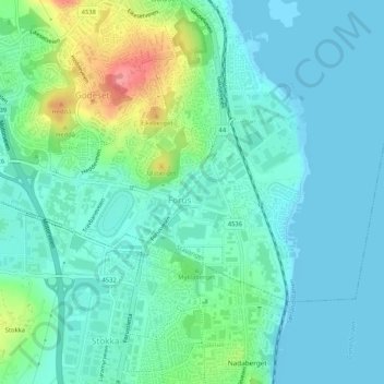
Name: Scania topographic map, elevation, terrain.
Location: Scania, Hinna, Stavanger, Rogaland, 4031, Norway (58.88239 5.72586 58.90239 5.74586)
Average elevation: 19 m
Minimum elevation: 0 m
Maximum elevation: 84 m
Other topographic maps
Click on a map to view its topography, its elevation and its terrain.