
Río Rojo topographic map
Interactive map
Click on the map to display elevation.
About this map
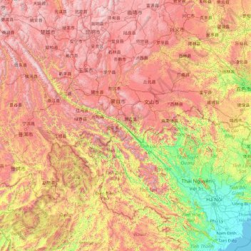
Name: Río Rojo topographic map, elevation, terrain.
Average elevation: 1,100 m
Minimum elevation: -1 m
Maximum elevation: 3,220 m
Other topographic maps
Click on a map to view its topography, its elevation and its terrain.
官渡区 (Guandu)
China > Yunnan > 昆明市 (Kunming)
官渡区 (Guandu), 昆明市 (Kunming), Yunnan, China
Average elevation: 2,058 m