
Post topographic map
Interactive map
Click on the map to display elevation.
About this map
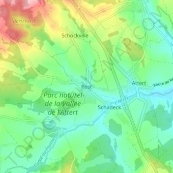
Name: Post topographic map, elevation, terrain.
Location: Post, Attert, Arlon, Luxembourg, Wallonie, 6717, Belgique (49.73067 5.74846 49.77067 5.78846)
Average elevation: 337 m
Minimum elevation: 292 m
Maximum elevation: 432 m