Geolocate

Guzai topographic map

Click on the map to display elevation.

About this map

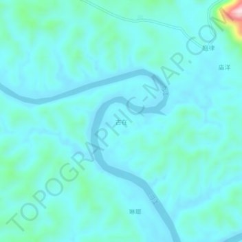
Name: Guzai topographic map, elevation, terrain.

Location: Guzai, Du'an Yao Autonomous County, Hechi, Guangxi, China (24.12540 108.36100 24.16540 108.40100)

Average elevation: 152 m

Minimum elevation: 112 m

Maximum elevation: 442 m

Gear up for your next adventure:

👖Zip-off Hiking Pants - Adapt to changing Irish temperatures quickly
🧭Hiking Compasses - Reliable compasses for navigation off‑trail
🌄Sun Protection Gear - Gear to shield from strong sun
🛰️Handheld GPS Units - Professional satellite navigation for Irish highlands
🧤Thermal Outdoor Gloves - Windproof and waterproof gloves for winter hiking

As an Amazon Associate, this site earns from qualifying purchases at no extra cost to you.