
Al Ula topographic map
Interactive map
Click on the map to display elevation.
About this map
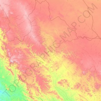
Name: Al Ula topographic map, elevation, terrain.
Location: Al Ula, Medina Province, 20115, Saudi Arabia (25.72536 37.08400 27.47331 38.94821)
Average elevation: 929 m
Minimum elevation: 59 m
Maximum elevation: 2,073 m
Other topographic maps
Click on a map to view its topography, its elevation and its terrain.
Medina
Saudi Arabia > Medina Province
Medina is located in the Hejaz region which is a 200 km (120 mi) wide strip between the Nafud desert and the Red Sea. Located approximately 720 km (450 mi) northwest of Riyadh which is at the center of the Saudi desert, the city is 250 km (160 mi) away from the west coast of Saudi Arabia and at an elevation of…
Average elevation: 692 m