
祁连县 topographic map
Interactive map
Click on the map to display elevation.
About this map
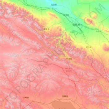
Name: 祁连县 topographic map, elevation, terrain.
Location: 祁连县, 海北藏族自治州, Qinghai, China (37.42209 98.09266 39.09037 101.19966)
Average elevation: 3,253 m
Minimum elevation: 1,333 m
Maximum elevation: 5,461 m