
新兴镇 topographic map
Interactive map
Click on the map to display elevation.
About this map
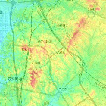
Name: 新兴镇 topographic map, elevation, terrain.
Location: 新兴镇, 天府新区, 双流区, 成都市, 四川省, 中国 (30.46349 104.11492 30.57116 104.24355)
Average elevation: 499 m
Minimum elevation: 476 m
Maximum elevation: 536 m
Other topographic maps
Click on a map to view its topography, its elevation and its terrain.