
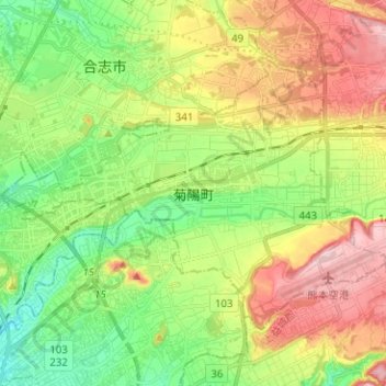
菊阳町 topographic map
Interactive map
Click on the map to display elevation.
About this map
Name: 菊阳町 topographic map, elevation, terrain.
Location: 菊阳町, 菊池郡, 熊本县, 869-1103, 日本 (32.82201 130.74856 32.89683 130.87439)
Average elevation: 99 m
Minimum elevation: 20 m
Maximum elevation: 210 m