Geolocate

Liss topographic map

Click on the map to display elevation.

About this map

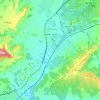
Name: Liss topographic map, elevation, terrain.

Location: Liss, East Hampshire, Hampshire, England, United Kingdom (51.01900 -0.93790 51.06400 -0.84955)

Average elevation: 96 m

Minimum elevation: 50 m

Maximum elevation: 241 m

Gear up for your next adventure:

🥾Waterproof Hiking Boots - Best waterproof boots for wet Irish weather
🗾Ireland Map Books - Top map books for exploring Ireland
💡Hiking Headlamps - Hands‑free lights for night hikes
🧴Anti-Chafe Sticks - Prevent friction during long distance walking
📡Satellite Messengers - Emergency messaging when off‑grid

As an Amazon Associate, this site earns from qualifying purchases at no extra cost to you.